Satellite Monitoring for Sustainable Aquaculture
Mapping aquaculture structures for efficient monitoring and regulation

Monitoring Aquaculture Structures (MAS)
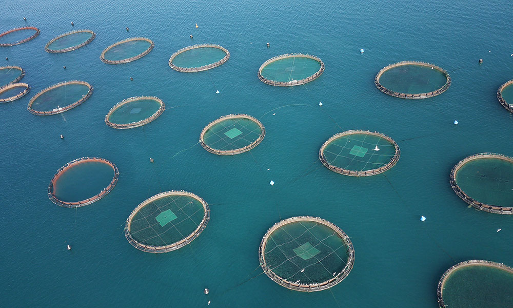
NextOcean's MAS service revolutionises the way aquaculture is monitored and regulated. By harnessing high-resolution satellite imagery from Sentinel satellites, MAS provides a comprehensive overview of fish cages, floating houses, longline buoys, and other structures within a specified area. This enables maritime authorities, service providers, and consultants to track changes in aquaculture density, ensure compliance, and make informed permitting decisions, promoting sustainable practices and marine safety.
View MAS factsheetBenefits
NextOcean data services provide key insights for:
Maritime Regulatory Authorities
- Density of fish farms can contribute to permit policy and issuing of new licences, allowing control of the proliferation of aquaculture activity.
- Ensure there is no encroachment into restricted areas (e.g. Marine Protected Areas).
- Help to ensure safe navigation of vessels away from fish farms.
Aquaculture Service Providers / Consultants
- Assess the likelihood of clients being granted permission for new fish farms, according to the presence and density of other fish farms in that area.
- Contributes to analysis and advice on aquaculture permit policy on behalf of regulatory authorities.
- Verify on behalf of regulatory authorities whether there has been any encroachment on MPAs or other restricted areas in their jurisdiction.
Effective aquaculture monitoring
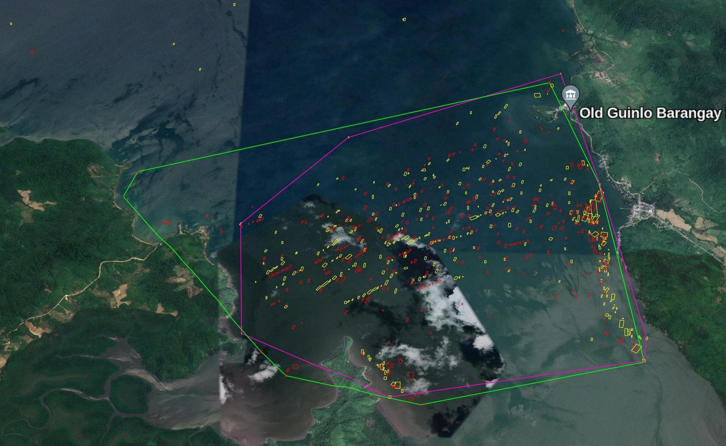
MAS identifies aquaculture structures using Sentinel satellite data, representing them as polygons in KML files. Users can view maps in Google Earth or the NextOcean portal, comparing them over time to assess changes.

How to make an order
Learn step-by-step how to place an order for the NextOcean Monitoring of Aquaculture Structures service. The video walks through logging into your account, selecting the service, submitting an order and viewing the results in our geoportal.
Buy nowReady to unlock the power of data for your fishing operations?
Request a free demo, or subscribe for updates to see how NextOcean can help boost your productivity and profits while safeguarding ocean resources.
Email our sales team on sales@nextocean.eu